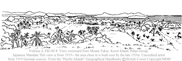
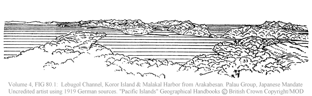
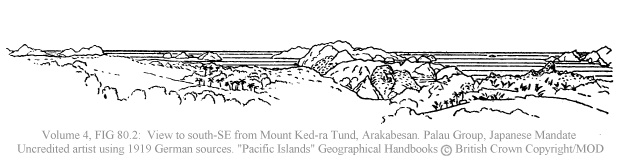
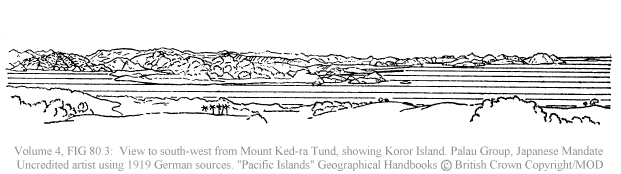
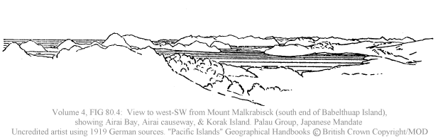
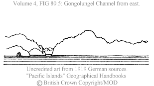
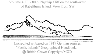
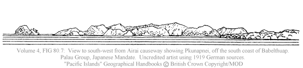
Babelthuap
Island is a large island with nearby smaller islands, part of the Palau
group
of the Caroline Islands in the Japanese Mandate. These were German
colonies
until they were occupied by the Japanese during the First World War.
These drawings were done by an uncredited British artist in the early
1940s
working from German source material (photos or drawings)
from 1917 and 1919.
"Based on A. Krämer, Ergebnisse
der Südsee Expedition, II (Ethnographie), B (Mikronesien), Band III,
Teilband I, pp. 189, 192, 195, Teilband II, p 200,
(Hamburg, 1917, 1919)"
Images from the
"Pacific Islands Geographical Handbooks" (Royal Navy):
(reprinted with permission -- credits located
here)