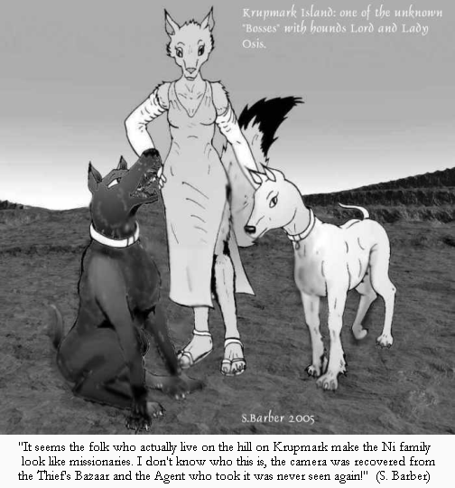
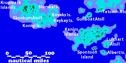
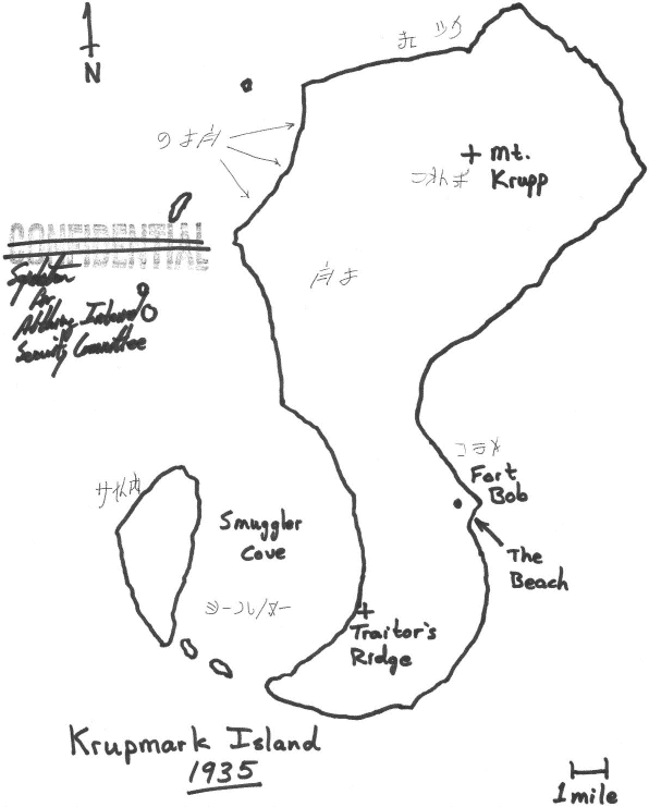
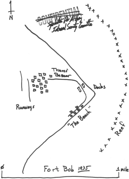
Politics & Government of Krupmark Island
Some Portraits & a report by Walter D. Reimer
Upload 1 August 2005
Stories
of
the Ni family
by Walter D. Reimer
Refugees in the early 1930s, who have survived & prospered
in the brutal lawless society of Krupmark Island.
Included are other spin-off stories set on Krupmark.
Link 18 November 2010
Krupmark Island and its criminals have also appeared in stories such as
Amelia's
"Excerpts from a Diary" by Simon
Barber (and in other tales of the Songmark Academy students)
and in the "Time of Oharu" Spontoon stories by Reese Dorrycott, at his
Naorhy.com archive.
Eden
In Paradise
by Walter D. Reimer
(with Eric O. Costello & M. Mitch Marmel)
An excerpt from a report (12/31/41) on the
history of
the infrastructure of Krupmark Island (including the trolleys).
Update 11 March 2011
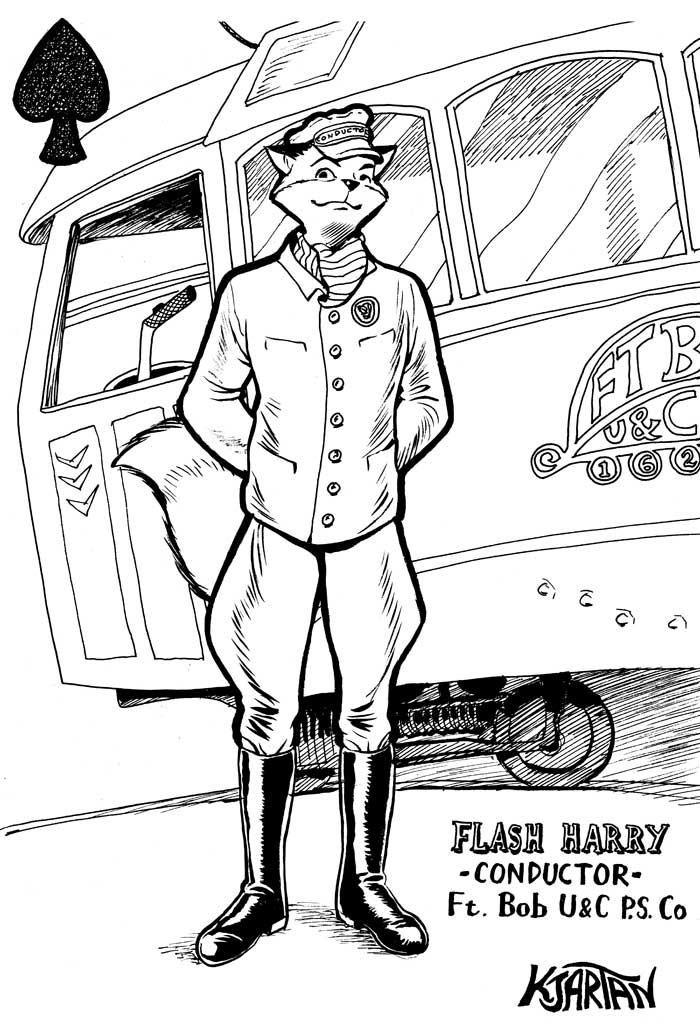
Knockin'
Down the Fares
by E. O. Costello
An adventure story of rival armored electric streetcar lines
battling to finish their runs and win their bets.
Link 18 November 2010
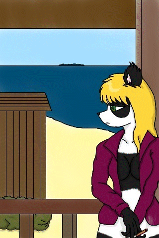
 "Flash Harry", streetcar conductor, Krupmark Island
Art by
Kjartan - From the story
"Knockin' Down the Fares" by E. O.
Costello
(larger file here - 703 KBytes)
 "Mad Mac" MacTavish - Art by Tegerio - http://www.furaffinity.net/user/tegerio/
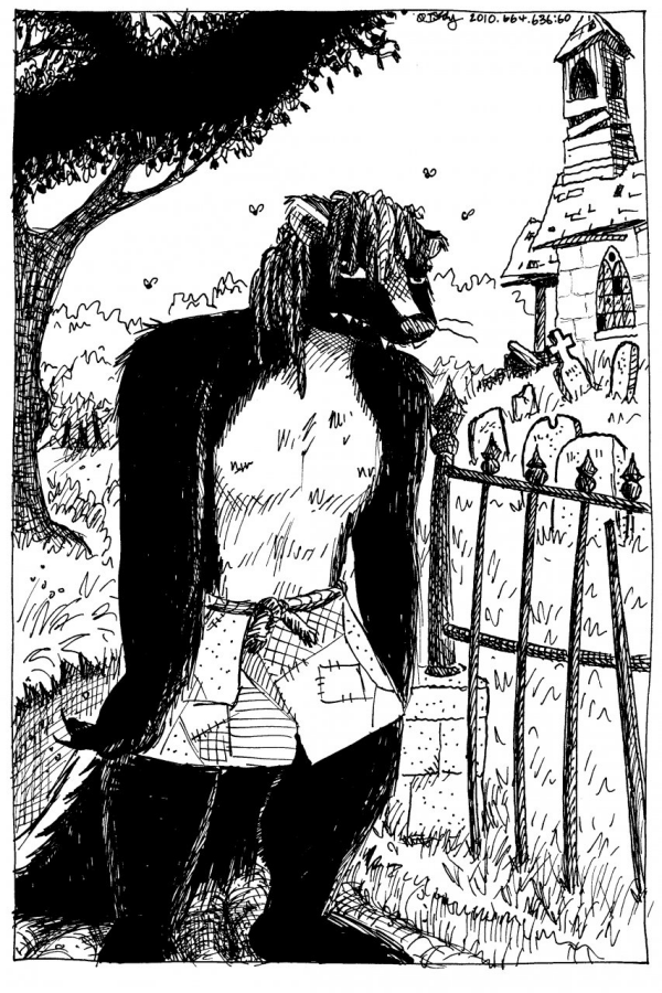
As sometimes avoided on Krupmark Island - Character by Walter D. Reimer
* (Appearing in "Rememberance" and other Krupmark stories.) *